Dalton Highway MP 289-205 Rehabilitation
Projects
Client
Alaska Department of Transportation & Public Facilities
Timeline
2017–2025
Location
North Slope, Alaska
Improving Safety and Reliability Along One of the World’s Most Remote Roads
Reliable Data for a Road That Can’t Go Down
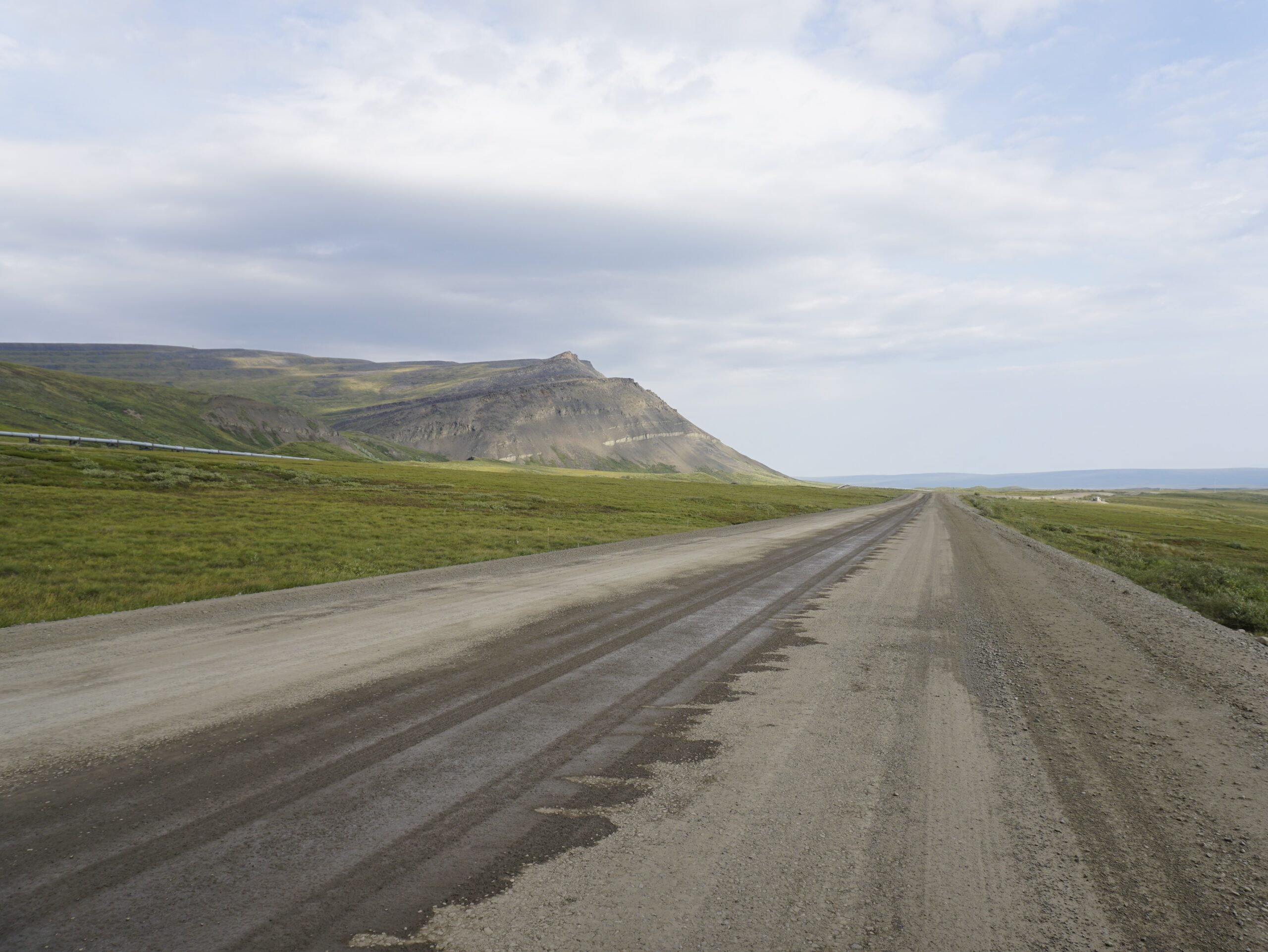
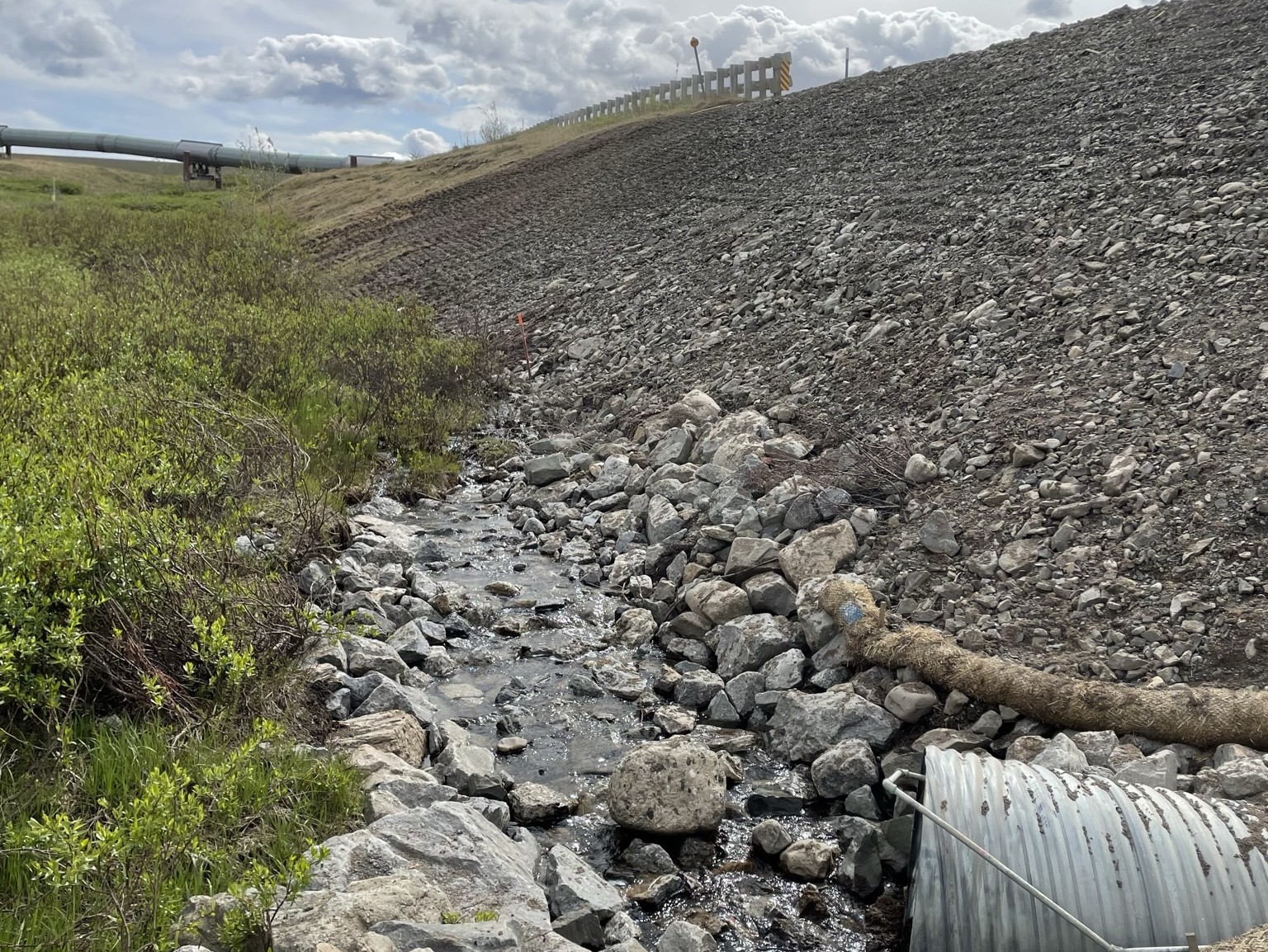
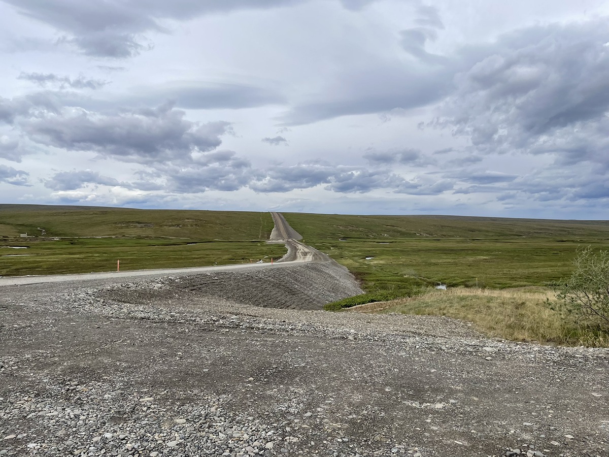
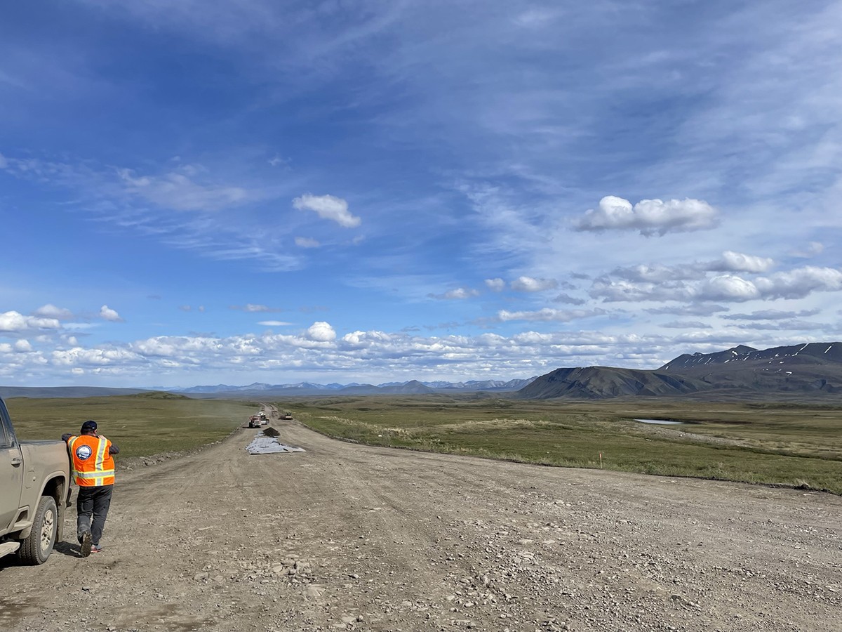
The 16-mile remote stretch of the Dalton Highway, also called Haul Road, from Milepost 289 to 305 faces some of the harshest conditions, yet is an essential lifeline for transporting goods to the North Slope oil fields and maintaining the Alaska Pipeline. Winter storms routinely buried this section of the road in drifting snow, and underlying layers of wet organic soil and melting permafrost caused the embankment to settle—conditions that threatened the corridor’s safety and year-long reliability. To restore and preserve this critical transportation link, RESPEC provided precise surveying and mapping to support the Alaska Department of Transportation & Public Facilities’ (DOT&PF’s) embankment reconstruction efforts.
RESPEC located fiber-optic lines to assess their proximity to the highway, completed topographic surveys of newly constructed utilities not captured in previous LiDAR data, and conducted drone-based photogrammetry along the entire 16-mile corridor. These high-resolution surface models provided a critical comparison to existing state data, confirming calculated material quantities and giving DOT&PF confidence in the project’s design assumptions.
Clarity That Supports Safe, Year-Round Travel
In Arctic environments, uncertainty can be as hazardous as the weather. By delivering dependable mapping and surface modeling, RESPEC helped DOT&PF reduce construction risks, improve planning accuracy, and maintain a transportation link that supports the Alaska Pipeline and North Slope communities.