Coal Creek Rock Creek Master Plan
Accelerating major drainageway planning studies in Colorado.
The Coal Creek and Rock Creek Watershed is approximately 80 square miles and covers seven municipalities. The Major Drainageway Planning study was a three-phase project that involved developing peak flow hydrology, alternatives analysis, conceptual design plans, and budgeting cost estimates. The watershed hydrology was developed by using CUHP 2000 and EPA SWMM 5.0. The alternatives analysis considers a complex array of constraints: municipal boundaries, changes to hydrology, sustainability, and budget limitations. The conceptual design provides a strong, detailed plan to address relevant issues, preserve water quality, and maintain drainageway health. The Flood Hazard Area Delineation (FHAD) report uses the Major Drainageway Planning Study hydrology to define flood elevations for 10-, 50-, 100‑, and 500-year events and map the 100- and 500-year floodplains for 35 miles of stream. The hydraulic analysis uses HEC-RAS and is supplemented with Flo-2D to analyze several flow splits throughout the watershed.
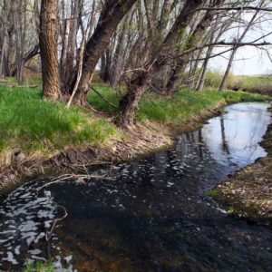
Some portions of Coal Creek and Rock Creek show signs of severe degradation and others have large deposition zones, which indicate an unstable channel reestablishing a balance in response to stream changes caused by urbanization. RESPEC updated the hydrology, identified flood protection and channel stability measures, addressed stormwater quality improvements, and provided floodplain analyses and mapping. RESPEC accelerated developing and managing master planning hydrology model files by using ArcGIS, ArcHydro, and Python to automate developing hydrographs and SWMM hydrologic models. GIS was also used in the hydraulic floodplain analysis using HEC-GeoRAS to expedite the setup of the initial HEC-RAS models and final floodplain maps.


Stay in Touch