Drone Services

At RESPEC, we leverage state-of-the-art, high-precision drone technology to provide innovative solutions across diverse project needs. With a commitment to project excellence, RESPEC’s FAA-certified pilots deliver detailed, accurate data to meet the unique needs of each client and project. Explore how our drone capabilities can elevate your project with unparalleled efficiency and accuracy.

Contact Us

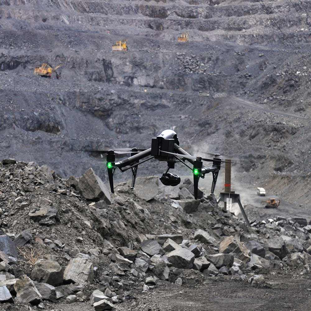
Drone flies near the ground at the bottom of a mining pit

Mining

RESPEC has experience using drones in mining operations of all sizes. Our drones facilitate volumetric calculations, change detection, stockpile analysis, Tailing Management Area (TMA) analysis, vegetation quantification, infrastructure assessment, and digital twins. Using drones in mining projects enhances data acquisition, improves traditional surveys, fosters safety, and drastically improves operational efficiency. Our MSHA-certified staff brings years of experience to ensure precise and safe data collection in active or abandoned mines.

Uses and Benefits of Drones in Mining:

  • Gather data without disrupting workflow
  • Access hard-to-reach areas effortlessly
  • Efficiently map large areas
  • Enhance safety, a critical need in mining
  • Change detection
  • Bathymetric data for TMAs
  • Volumetrics

Natural Resources

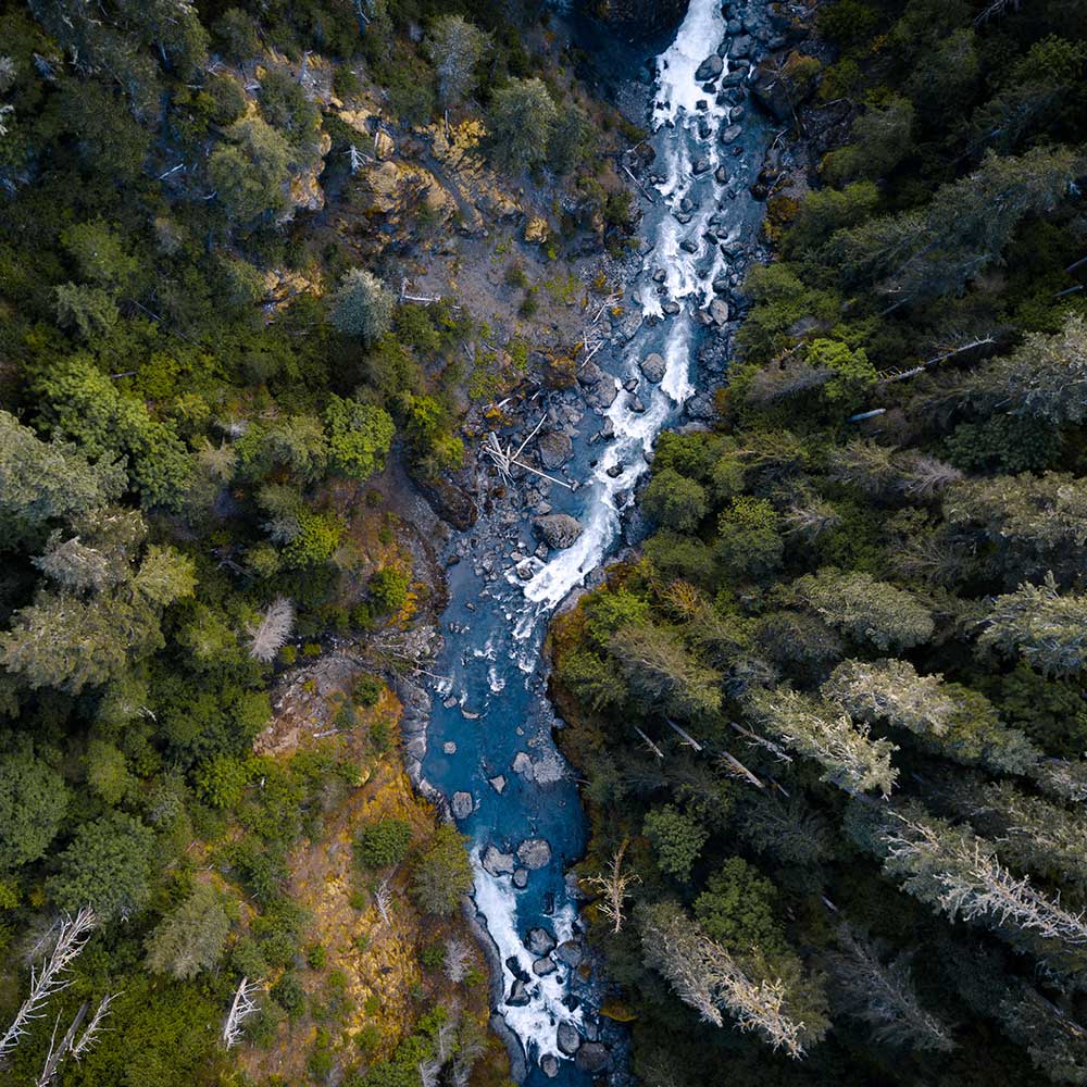
RESPEC harnesses drone technology to monitor and analyze natural resources with high levels of acuity and precision. Our drones collect comprehensive data that supports a wide range of natural resource projects, from vegetation health and water quality to thermal analysis and bathymetric LiDAR. Advanced solutions also include biomass assessment, viewsheds, thermal analysis, LiDAR scanning, and sub-centimeter resolution imagery, providing actionable insights for hyper-accurate and adaptive resource management.

Uses and Benefits of Drones in Natural Resource Management:

  • Vegetation health and moisture monitoring
  • Agricultural Water Rights establishment
  • Biomass measurement
  • Accurate topographic change detection
  • Updated flood modeling and mapping
  • Viewsheds
  • Updated aerial imagery (max resolution 0.5cm²)
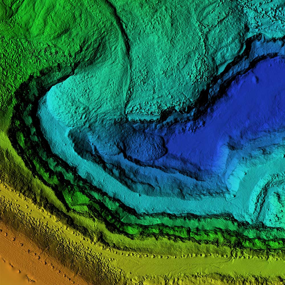
3d scan from a drone of an open pit

Topographic Surveys and Mapping

RESPEC excels in collecting mapping-grade survey data. Our skilled pilots capture orthomosaic imagery, point clouds, topographic elevation data, and bathymetry, generating accurate contours that complement or replace traditional survey methods. We integrate this comprehensive data into cutting-edge software platforms, ensuring detailed visualization and robust modeling for all your project needs.

Uses and Benefits of Drones in Topographic Surveys and Mapping Projects:

  • Save time and cost compared to traditional survey methods
  • Safely collect data in rugged terrain
  • High-resolution imagery and 3D models for better decision-making
  • Can be updated weekly
  • Aids traditional surveys for precise and accurate designs

Project Management and Inspections

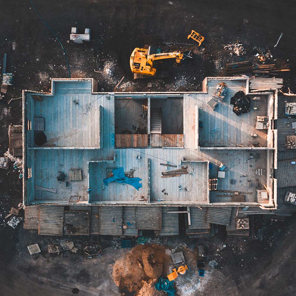
A solid design starts with a clear plan and efficient steps. Using high-resolution drone imagery and inspection videos, RESPEC enables novel change detection, asset inspections, and project management. We gather site data quickly and safely, develop 3D models and data visualizations, and monitor project progress over time. This approach streamlines construction planning, simplifies asset inspection, enhances decision-making, and ensures projects stay on track.

Uses and Benefits of Drones in Project Management and Inspection:

  • Change detection
  • Safety
  • Simplifies construction planning and execution
  • Volumetric analysis