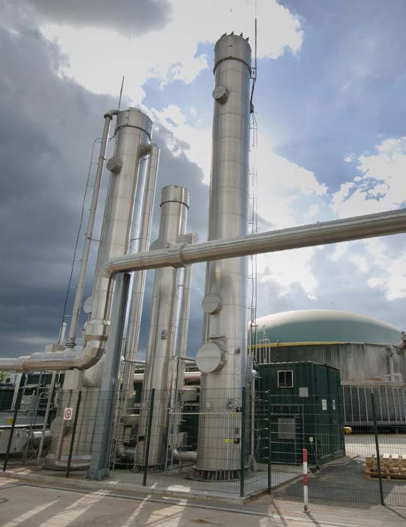
Mining
Expertise
Mining is never simple. Every phase—from early exploration to reclamation—comes with complex geology, tight regulations, financial pressure, and the need to make decisions that affect both daily operations and long-term viability. You’re expected to move fast, stay compliant, manage risk, maintain safety, and deliver value in environments where the variables are constantly shifting.
RESPEC helps you navigate that complexity with confidence. Our teams blend decades of mining experience with advanced digital tools, predictive modeling, and data-driven insights to support projects across commodities and regions. Whether you’re developing a new asset, optimizing performance, or planning for closure, we deliver solutions that enhance safety, improve efficiency, and protect the communities and environments connected to your mine.
Where Mining Meets Innovation
Exploration
In the earliest stages of mining, uncertainty is the biggest obstacle. RESPEC helps reduce it by managing exploration programs and integrating geoscience, geophysics, geochemistry, and advanced 3D modeling to turn scattered data into a clear picture of resource potential. Our team doesn’t just build models—we interpret and apply them with proven expertise from years of successful projects, ensuring stakeholders have the accuracy and confidence needed for sound investment decisions. From target evaluation and subsurface characterization to program oversight and strategic planning, RESPEC delivers clarity from the start.


Experience Across Commodities

Precious & Base Metals
Volatile markets, complex ore bodies, and strict permitting environments make metals mining a high-stakes endeavor. RESPEC supports clients with advanced geologic modeling, resource evaluation, mine planning, and operational insight that reduce uncertainty and improve financial confidence. Whether it’s gold, copper, or critical minerals, we help teams make decisions grounded in data, efficiency, and long-term value.


See Our Work in Action

High-Capacity Brine Disposal Well Development
EnergyInfrastructure Resiliency and ModernizationMiningNatural Resource Protection
US Salt Solution Mining Operations
Asset ManagementEnergy TransitionMiningNatural Resource Protection
DeLamar Florida Mountain Geotechnical Prefeasibility Study
Asset ManagementMiningStrategic Advisory and Risk Planning
Integrated Expertise for Complex Challenges
Mining doesn’t fit into silos and neither do our teams. RESPEC brings together geologists, engineers, hydrologists, data scientists, and environmental specialists to address technical, regulatory, and community dimensions from the start. This integrated approach anticipates challenges early, improves decision-making, and ensures every stage of the mine life cycle supports performance and responsibility.

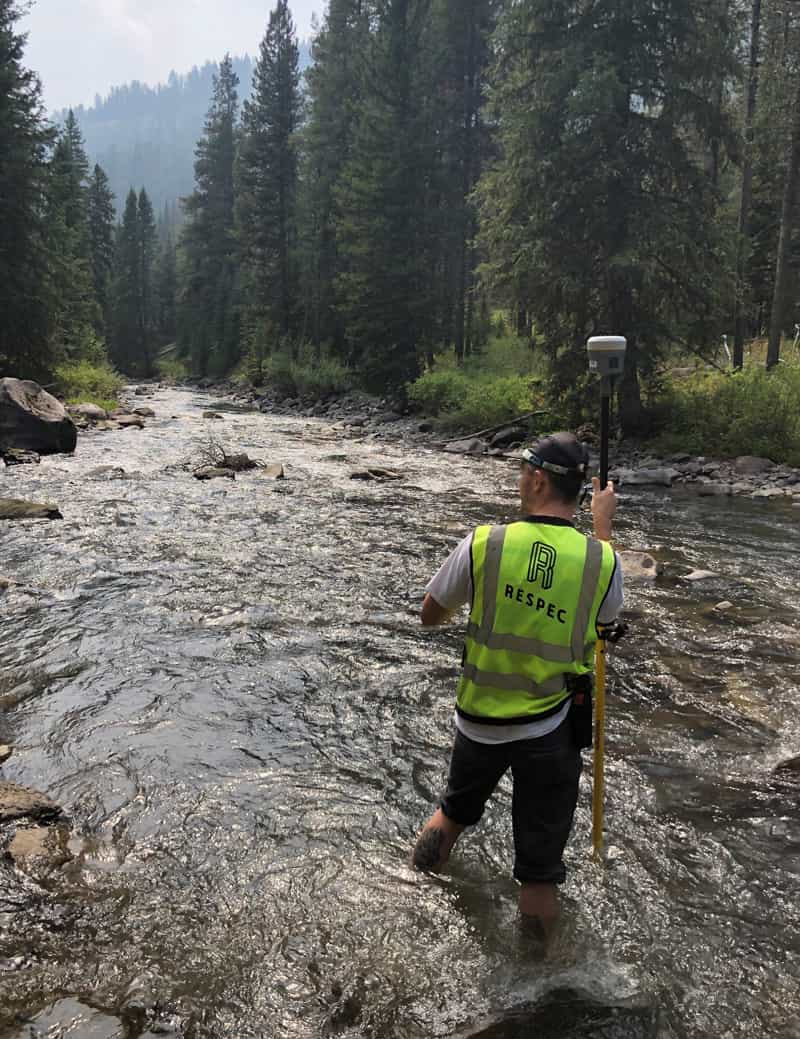
Water
Learn More >

Environment
Learn More >

Facilities
Learn More >

Data & Technology
Learn More >

Solid Waste
Learn More >

Government
Learn More >

Land Development
Learn More >

Energy
Learn More >

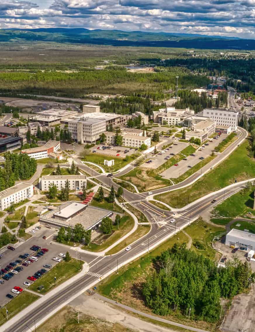
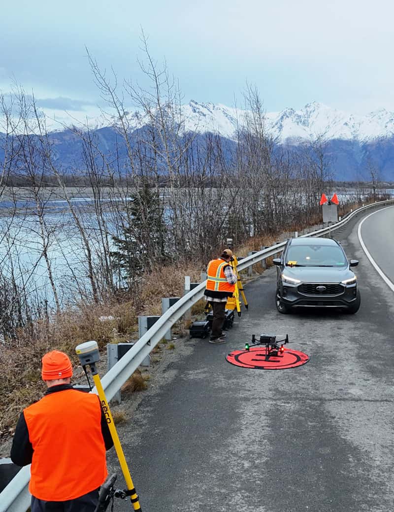
Transportation
Learn More >

Tabetha Stirrett
President of RESPEC Canada/Vice President, Mining & Energy
Meet The Team
Impacts
Turning complex data into integrated digital tools that improve clarity, coordination, and decisions.


Newsletter

RESPEC Mining & Energy Quarterly Newsletter – December 2025
From exciting projects to personal milestones, this issue is all about growth, gratitude, and getting ready for what's ahead.